
Articles
Animals on the Highway: Wildlife-Related Road Risks in Nigeria
Global and Regional Perspective: Nigeria at the Top Risk
Nigeria has the highest estimated road injury death rate globally, at 52.4 deaths per 100,000 people, more than 15 times higher than countries like Sweden or the UK .
Studies show that pedestrians and motorists face increased collision risk near wildlife zones due to sudden animal presence .
Although formal roadkill reporting is minimal in Nigeria, global datasets record over 208,000 terrestrial vertebrate deaths due to vehicle collisions from 1971‑2024 across 54 countries, including limited African coverage .
Underlying Traffic Context in Nigeria
Analysis from Ibadan shows nearly 16% of long-distance drivers reported at least one crash in the last year, with poor road conditions cited as a factor in 47.9% of incidents .
In Ogun State alone (2017–2019), 13.6% of road traffic accidents were fatal, with 76.6% resulting in injuries—many driven by speeding (29.4%) and unsafe road infrastructure .
This broader crash environment compounds risk when wildlife unexpectedly enters homogenous roadways.
What the Research Tells Us About Wildlife Collisions
Global studies reveal:
- Roadkill hotspots align with high road density zones, especially near reserve boundaries, and pose risk at dawn and dusk .
- Fencing combined with wildlife crossings can reduce animal mortality by up to 90% in similar environments .
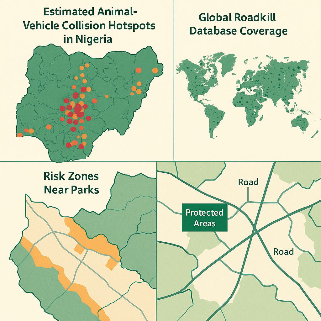
However, Nigeria lacks formal monitoring systems, making the scale of local wildlife-vehicle collisions underreported and largely anecdotal.
Data Gaps & Risk Zones in Nigeria
No centralized database tracks roadkill incidents in Nigeria or correlates animal involvement in crashes.
Wildlife corridors intersect major routes like the Akure–Benin Expressway and Taraba–Adamawa highways, where traffic density and speed amplify risks.
Nighttime conditions (e.g., 50% of fatalities occur in low visibility hours) further raise hazards near forested stretches .
5. Strategic Recommendations Based on Data Insights
| Focus Area | Data-Informed Action Plan |
|---|---|
| Hotspot Mapping | partner with conversation agency Partner with conservation agencies to log sightings and incidents. |
| Signage & Speed Reduction | Install wildlife warning signs and enforce 60 km/h zones in buffer areas. |
| Crossing Structures | Plan underpasses or overpasses at migration corridors, supported by global best practices. |
| Road Design Features | Use reflective markers, buffer strips, and vegetation-cleared shoulders. |
| Community Reporting Tools | Develop mobile or USSD systems for real-time hazard and wildlife alerts. |
| Policy & Enforcement | Engage FRSC and state agencies to adopt wildlife-collision prevention into road safety standards. |
Why This Matters: Environmental & Human Safety
Globally, loss of large vertebrates over roadkills threatens biodiversity and ecosystem health, with population declines traced to frequent road corridors
For humans, sudden swerves to avoid animals, or collisions, can lead to secondary crashes, serious injuries, or fatalities, especially on high-speed roads with no lighting.
RoadKing.ng Final Take
Without robust data and mitigation tools, Nigeria risks repeating avoidable tragedies, both ecological and human. It’s time we tracked, reported, and addressed wildlife-vehicle risks systematically.
Our road planners, enforcement agencies, and wildlife conservationists must collaborate to safeguard life, human and animal along our roadways.
Also Read: Slow Progress on Nigerian Roads? How Policy, Funding, and Tech Could Close the Gap


5 Dangerous Reasons Drivers Fall Asleep Behind the Wheel

Young Female Driver Trapped After Early Morning Crash in Buies Creek

Motorcyclist Killed in High-Speed Collision Involving SUV in Dunn Area

Multiple Feared Dead After Horrific Bus-Tanker Collision in India

Tourist Bus Rollover on Australia’s Bruce Highway Kills Passenger, Several Injured

Global Road Safety Concerns Intensify After Multiple Deadly Crashes Across Continents

U.S. Traffic Deaths Decline in 2025 But Dangerous Driving Still Alarms Experts

16 Killed as Passenger Bus Plunges Under Bridge Along Lokoja-Okene Highway

Florida Horror Crash Leaves 3 Dead, 5 Critically Injured in Head-On Collision on State Road 40

4 CRUTECH Students, Driver Killed in Fatal Cross River Crash

Slow Down: Man got his Family Killed by neglecting road signs

Which Bridge is the Tallest in the World?
Impatient Driving Cause Road Accident
How Roads are Constructed on the Mountain

Texas, USA suffers heavy flooding